What's included:
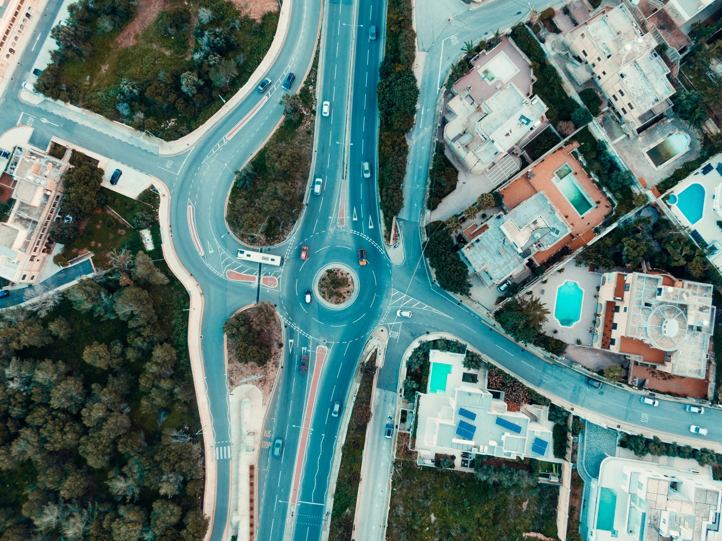
High-resolution aerial imagery of road surfaces, shoulders, and drainage infrastructure
Documentation of pavement condition, cracking, subsidence, and surface wear
Bridge, culvert, and drainage structure photography
GIS-compatible deliverables (GeoTIFF, shapefiles, or KMZ upon request)
Organized asset report suitable for public works planning and budget justification
Licensed, insured FAA Part 107 pilot
Delivery within 5–7 business days
Starting at $700 — final pricing based on total route mileage, number of structures, and required deliverable formats.
Volume pricing available for townships and counties covering multiple road corridors or annual inspection contracts.
What's included:
High-resolution aerial imagery of road surfaces, shoulders, and drainage infrastructure
Documentation of pavement condition, cracking, subsidence, and surface wear
Bridge, culvert, and drainage structure photography
GIS-compatible deliverables (GeoTIFF, shapefiles, or KMZ upon request)
Organized asset report suitable for public works planning and budget justification
Licensed, insured FAA Part 107 pilot
Delivery within 5–7 business days
Starting at $700 — final pricing based on total route mileage, number of structures, and required deliverable formats.
Volume pricing available for townships and counties covering multiple road corridors or annual inspection contracts.